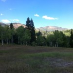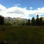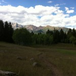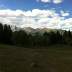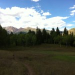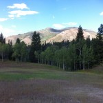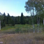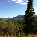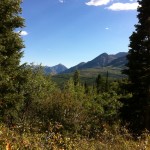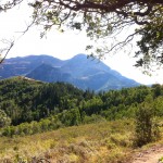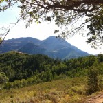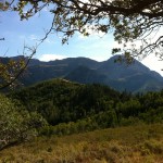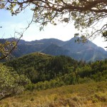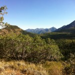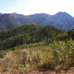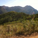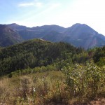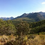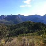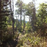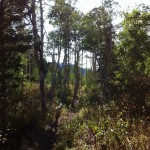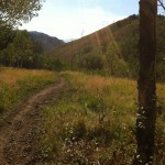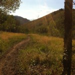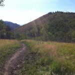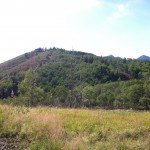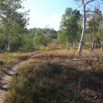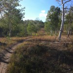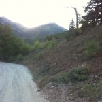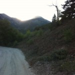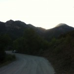
Some friends recommended a few places to go while I’m here, unfortunately, they were all 6 hours away. On Monday (Labor Day) afternoon I finally decided to get out of the hotel and drive to Timpanogos National Monument and see what was there. I had read online that it would be impossible to get a cave tour without ordering a ticket in advance, especially on a holiday and I didn’t really bring good cave clothes, so I didn’t even bother to try. I paid the six dollar entrance fee and told the Ranger that I just wanted to walk around. She gave me a cheesy trail map. After driving a bit I left the monument and entered Uinta National Forest, then things on the map started to appear. I oriented myself and decided the Tibble Fork trail looked promising. The area was crowded, there is a small reservoir there where people were boating and fishing and an “OHV Parking Area” (I had to look it up, OHV stands for “Off Highway Vehicle”). Four wheelers and dirt bikes abounded. I crossed the dam and quickly located the trail, it was two miles to the ridge though it seemed further. I wasn’t used to either the hiking or the elevation. Mostly it was lightly forested and brushy and there weren’t a lot of good views until towards the ridge. I took pictures with my iPhone 4 and I haven’t really sorted them yet. I took multiples trying to get the light right, so what follows is really an unsorted gallery of all the pics I took. I may come back and sort through them and throw out a few but if I do that now this post won’t be out before I go back to Maryland. Here are some from a few of the meadows on the way up:
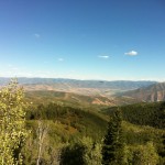
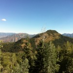
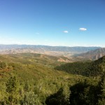
At the ridge the views became substantially more impressive, though I was dismayed that there was no Biergarten, the top of every good mountain should have a Biergarten. I proceeded Easterly along the ridge trail, the first few are looking Easterly and Northerly, then follow some looking Southeasterly.
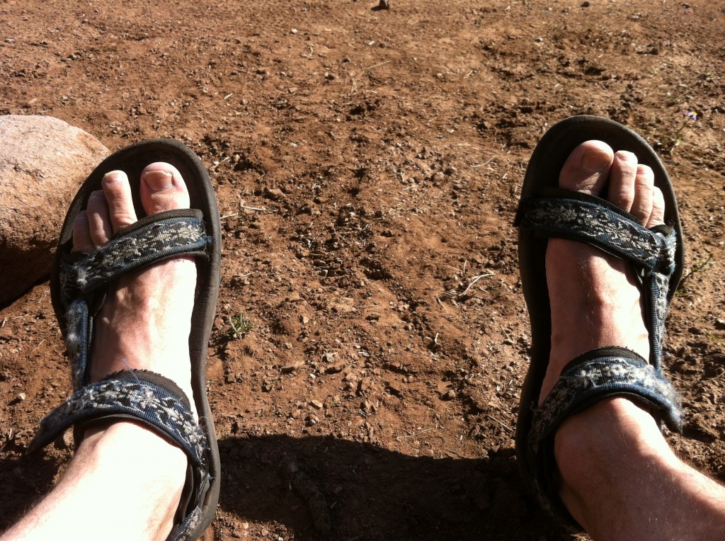
I wore my Tevas, they held up well and are normally good for such things, if you leave out the fact that hiking in shorts and sandals in the Rockies is not exactly in accordance with snake awareness. Unfortunately, maybe the pads on the straps were old and my feet were not used to it, I got nasty blisters. They started to appear as I approached the ridge and got progressively worse, not much for them at that point but to walk thru to the end.
Then some pics of the way down the Mud Spring trail toward Tibble Fork Reservoir, even with blisters I decided it was better to take another way back:
I saw a deer, a Muley, I think, though you can barely make him out in this picture:
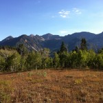
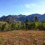
Finally, back at the base there were a few rather good shots, though the sun was behind the mountain in question, so the light isn’t the best:
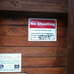
I thought this sign was interesting as I was surprised shooting was allowed in a National Forest:
But maybe I’ve just been in Europe too long.
Some of the photos of peaks make the mountain tops look like they have snow, this is just overexposure required to get any detail of the landscape below.
Overall, it was a lot of fun. I only met 13 people on the trail in the 5-6 miles and probably 3-4 hours that I hiked, which was a relief as the reservoir below was pretty crowded as were the parking areas and there were many OHVs as mentioned above. Unfortunately, of those 13, three were on dirt bikes and they nearly ruined it. The sound and the smell were so horribly inconsistent with everything else on the trail. The others were either walking, riding bikes, or on horseback. The trail was missing something though – besides the Biergarten at the top – a group of 20 or 30 friends, neighbors, and acquaintances and a cabin at the bottom with food and beer; but that’s for another post.

